


Garmin Montana® 700 Rugged GPS Touchscreen Navigator WIth inReach Technology 010-02133-01
Tags |
|
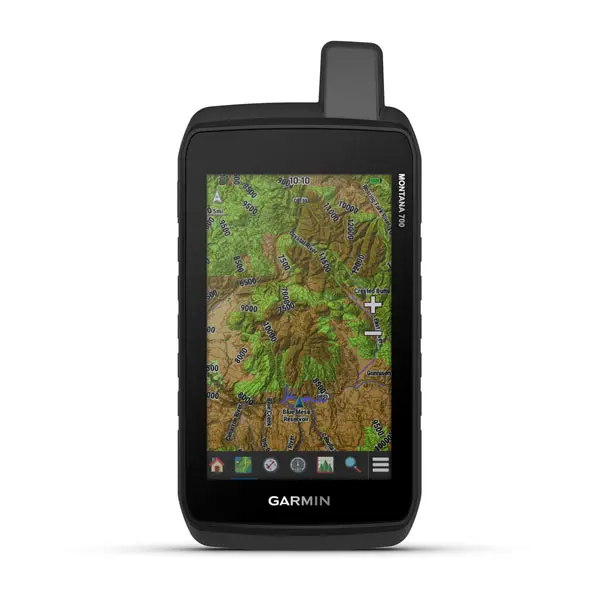
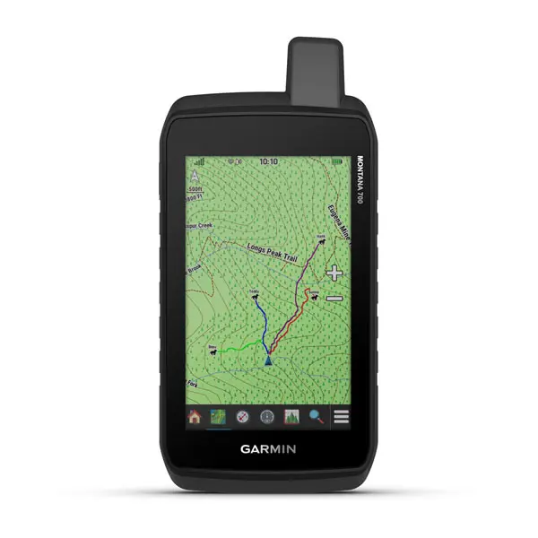
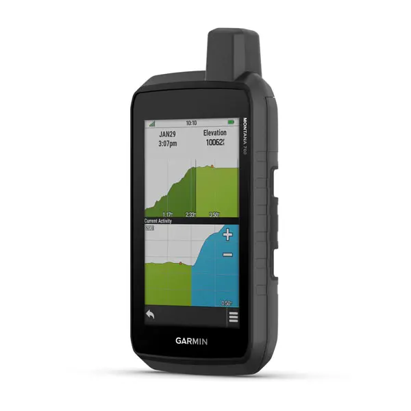
Montana® 700 is a handheld GPS with a 5 touchscreen, [AR] navigation sensors and routable mapping for roads and trails.
EXPLORE YOUR WORLD WITH NAVIGATION YOU TRUST
With routable mapping for roads and trails, the Montana 700 handheld brings advanced outdoor features into a sturdy 5” format that’s ideal for navigation on foot, bike, kayak, ATV and more.
![]()
Expect big things. A large touchscreen puts them all at your fingertips.
![]()
Routable TopoActive Europe maps. Now you’re free to take it off-road or on.
![]()
Meets MIL-STD 810 for thermal, shock, water and vibration.
![]()
Get the clear perspective of BirdsEye Satellite Imagery right to your device.
![]()
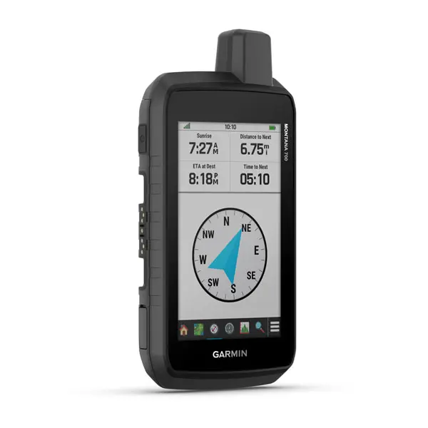
Go far with no fear. ABC sensors and multiple GNSS networks have your back.
![]()
Power your adventures with 18+ hours of lithium-ion battery life in GPS mode.
RUGGED BY DESIGN
This durable, water-resistant handheld is tested to U.S. military standards and features a glove-friendly 5” touchscreen that’s 50% larger than previous Montana models.
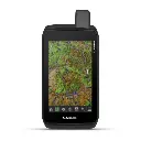
TOPOACTIVE EUROPE MAPS
To navigate your adventures, use preloaded TopoActive Europe maps. View elevations, coastlines, rivers, landmarks and more.
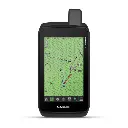
SATELLITE VIEWS
Use direct-to-device downloads of Birdseye Satellite Imagery (no annual subscription required) to see photo-realistic views and create waypoints based on landmarks.
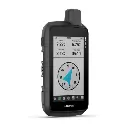
ABC SENSORS
Navigate your next trail with ABC sensors, including an altimeter for elevation data, barometer to monitor weather and 3-axis electronic compass.
ACTIVE WEATHER
Use phone connectivity1 to access up-to-date Active Weather forecasts through the Garmin Connect app.
DOG TRACKING
This Montana syncs with compatible Astro® or Alpha® series handhelds (sold separately) to help track dogs in the field.
WIKILOC TRAILS
This preloaded app lets you easily download hiking, cycling and other Wikiloc trails shared by outdoor enthusiasts like you. Get a free 60-day Wikiloc Premium trial to try this and other exclusive features.